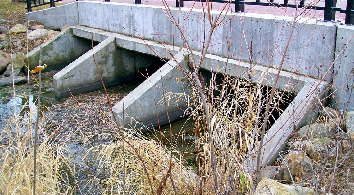
FEMA approved the Letter of Map Revision (LOMR) prepared by Banner for the City of Hartford for a 3.3-mile length of an unnamed tributary to Skunk Creek through the City and a small surrounding area in Minnehaha County. Hartford is developing at a rapid pace: to protect the public near this flooding source, the City elected to hire Banner to perform a detailed study. The City’s floodplain mapping was previously a Zone A approximate Flood Insurance Rate Map (FIRM) with no official Base Flood Elevations (BFEs) identified. The LOMR revised the 100-year (1% annual chance) boundary, added BFEs (Zone AE), and a 500-year (0.2% annual chance) boundary. This project was unique because of the accelerated timeline. The first FEMA map was submitted four months after the design contract was awarded. During this time, survey crews collected topographic data for the area and engineering staff conducted hydrologic and hydraulic models that were used to create the maps for the FEMA submittal. After the additional data requests were received from FEMA during their review process, a preliminary LOMR determination approval was made within six months. When the required 90-day appeal period concluded, the map became effective. This was a fast-track project especially considering the length of stream revised.
Project Goal #1
Establish a detailed FEMA map with BFEs for City planning purposes within a limited timeframe
Project Features
- Hydrologic and hydraulic modeling
- FEMA Map Revision - Skunk Creek Tributary
Services Provided
- Topographic surveying
- Hydrologic and hydraulic models


