Surveying Services
- ALTA/ASCM Surveys
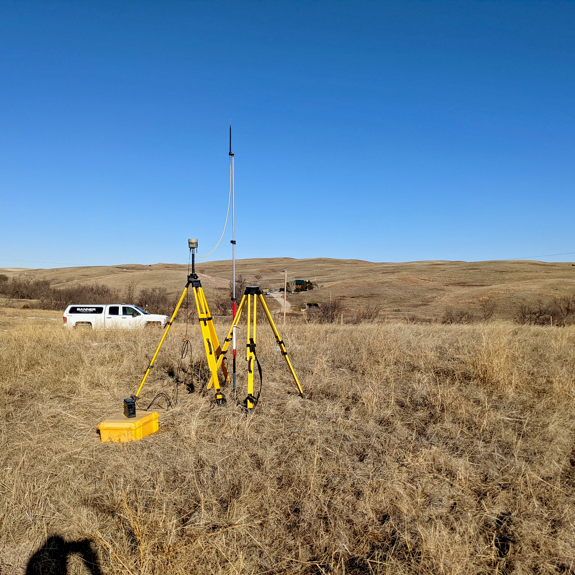
- Control Surveys
- Legal Descriptions
- Land Platting and Easements
- Boundary Surveys
- Topographic Surveys
- Utility Route Surveys
- Construction Staking and Layout
- Drainage/Hydraulic Surveys
- FEMA Elevation Certification
- Telecommunication Facility Surveys
- FAA 1A & 2C Certification Surveys
- Right-of-Way/Easement Surveys
- Bathymetric Surveys
- Wetland Surveys
- As-Built Surveys
- Drone Aerial Surveys and Photography


