Project Details
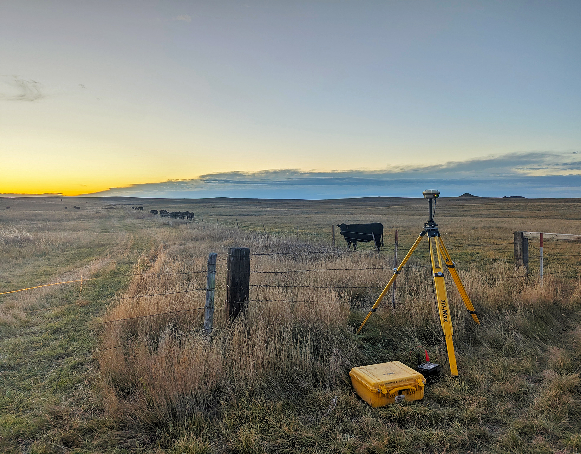
The project generally consists of 30+ miles of pipeline and two water tower sites. One north of the Moreau River and one in the city of Timber Lake. Our crews completed topographic and boundary surveying on the entire route. This was done with several methods from typical survey methods to UAS data collection methods which includes photogrammetry, and Lidar. We created an existing conditions base file and created easement documents and plats for the route.
Services Provided
- Control Surveys
- Legal Descriptions
- Land Platting and Easements
- Boundary Surveys
- Topographic Surveys
- Right-of-Way/Easement Surveys
- Bathymetric Surveys
- Drone Aerial Surveys and Photography


